Breadcrumb
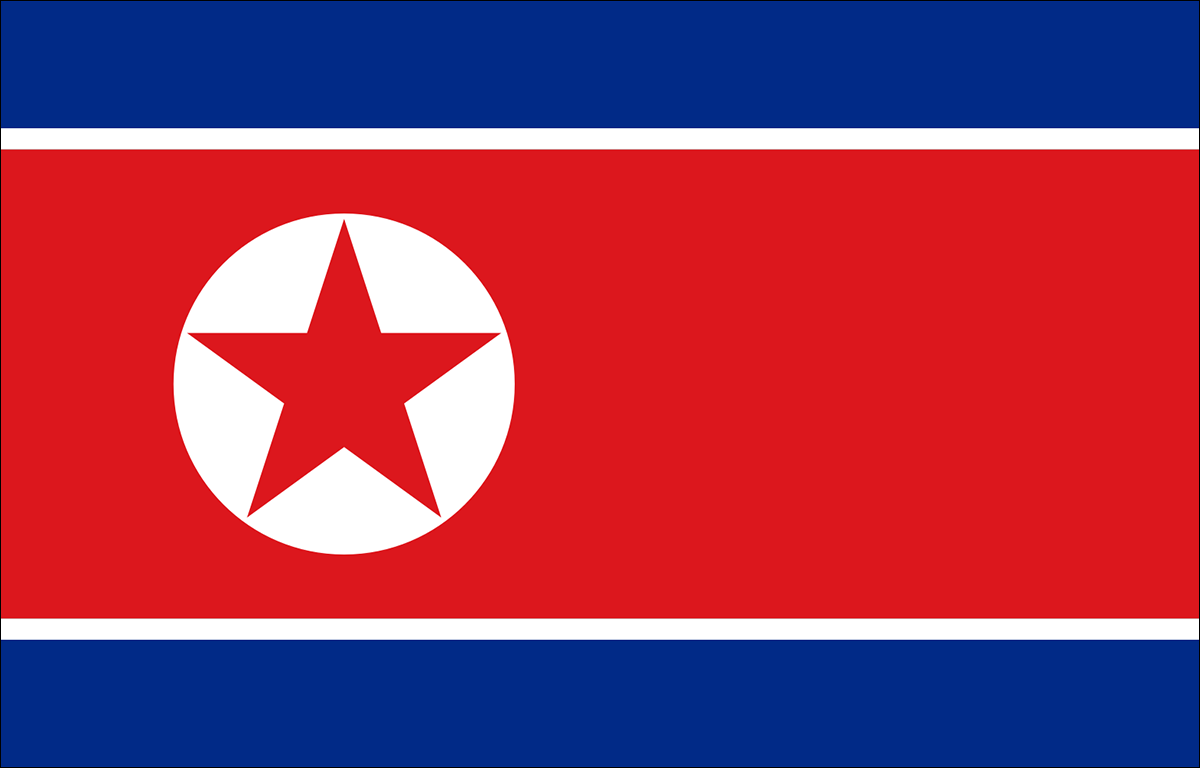
DPR Korea

Capital:
Pyongyang
Land Area:
120,408km²
Inland Water Area:
130km²
Length of Coastline:
2,495km
The history of ICM in the Democratic People's Republic of Korea (DPRK) can be traced back to 1993 when the country joined the first phase of PEMSEA’s GEF-funded project. When the second phase started in 1999, the DPR Korea designated Nampho as an ICM demonstration site along with 6 other sites in the region. The designation of Nampho as one of PEMSEA's national ICM demonstration sites was one of the driving forces for development of ICM policy in the country. The Nampho ICM demonstration project which includes activities such as: the development of the Nampho Coastal Strategy; establishment of the Integrated Information Management System (IIMS) and the Integrated Environmental Monitoring Program (IEMP); start up of the Coastal Management Division and ICM Training Center; improvement of the potable water supply system in Nampho; and decreasing pollution in Nampho's coastal area. The success of the Nampho ICM demonstration project proved that scaling up ICM across the entire country would be beneficial to the people’s welfare and livelihood, as well as the environment. It led DPRK to become a signatory to the Putrajaya declaration, which endorsed the Sustainable Development Strategy for the Seas of East Asia (SDS-SEA), and the Haikou Partnership Agreement which established PEMSEA as a regional coordinating mechanism for SDS-SEA implementation.
Recently, efforts to scale up ICM nationally have been initiated by the government. Following the model case of Nampho and guided by the National ICM Programme, Wonsan—the largest city in the East Sea area of DPR Korea—was designated as an ICM site in 2015. Aside from the two ICM sites, plans to scale up ICM in DPR Korea will include establishing a National ICM Coordinating Committee at the central level to ensure the efficient and effective implementation of programs at the national and local levels. The Committee will approve all the ICM-related work in DPR Korea including work plans, budgets andproject outputs. The government is also developing a management program for the Taedong River Basin. The Taedong River is the fifth longest river in DPRK, approximately 450km, and its watershed area covers over 20,000km2, including Pyongyang, the capital. The government has already prepared a profile of the Taedong River and formulated the draft management framework plan.
History of DPR Korea's engagement in PEMSEA
Focal Points:
Mr. Kwang-Jin Jong (National Focal Point)
Deputy Director-General, General Bureau for Cooperation with International Organizations (GBCIO)
c/o Dr. Won-Tae Shin
Regional Project Manager ODA/MOF, PRF
General Bureau for Cooperation with International Organizations (GBCIO)