
Environmental Sensitivity Index Atlas for Gulf of Thailand Adopted
Wednesday, 19 February 2014
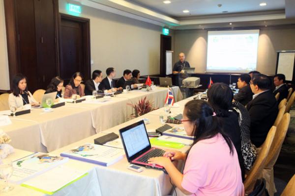
Manila, Philippines — Cambodia, Thailand and Vietnam officially adopted the Environmental Sensitivity Index (ESI) Atlas for the Gulf of Thailand, which was developed to guide effective planning and oil spill response in the region. At the Final Workshop on Strengthening Oil Spill Preparedness and Response in a Sub regional Sea Area: Environmental Sensitivity Mapping in the Gulf of Thailand held last 5–6 December 2013, representatives from the sub regional project steering committee, national ESI technical teams, the International Maritime Organization (IMO) and PEMSEA reviewed the drafted Gulf of Thailand ESI Atlas and shared experiences and lessons learned in implementing the project. Funded by the Korea International Cooperation Agency (KOICA) under the Yeosu Project Fund, the project aimed to build the capacity of the region's national and local governments in oil spill preparedness and response. One of the project's outputs is the Gulf of Thailand ESI Atlas, which features maps summarizing the Gulf of Thailand's coastal resources that are at risk if an oil spill occurs. After reviewing the drafted Gulf of Thailand ESI Atlas, the subregional project steering committee and national project technical teams agreed to further refine the ESI maps — which were produced by the respective teams — in terms of accuracy and consistency in map symbols and layout. The national project technical teams also agreed to further enhance the technical guidelines on the Gulf of Thailand's ESI mapping, which will be useful in developing national guidelines for Cambodia, Thailand and Vietnam. By mainstreaming ESI mapping at the national level, more ESI maps may be developed covering other coastal provinces in the region. With this, the teams are also considering to conduct more training workshops on ESI mapping in each country. To complement the results of the ESI mapping initiative, the participating countries are also looking into submitting a project proposal on oil spill trajectory modeling in the Gulf of Thailand to KOICA or other funding organizations. This project proposal aims to enhance the functionality of the ESI maps through hydrodynamic modeling, which may be useful in predicting the behavior of oil spills and its impact on the region's coastal and marine resources.
Recent Articles
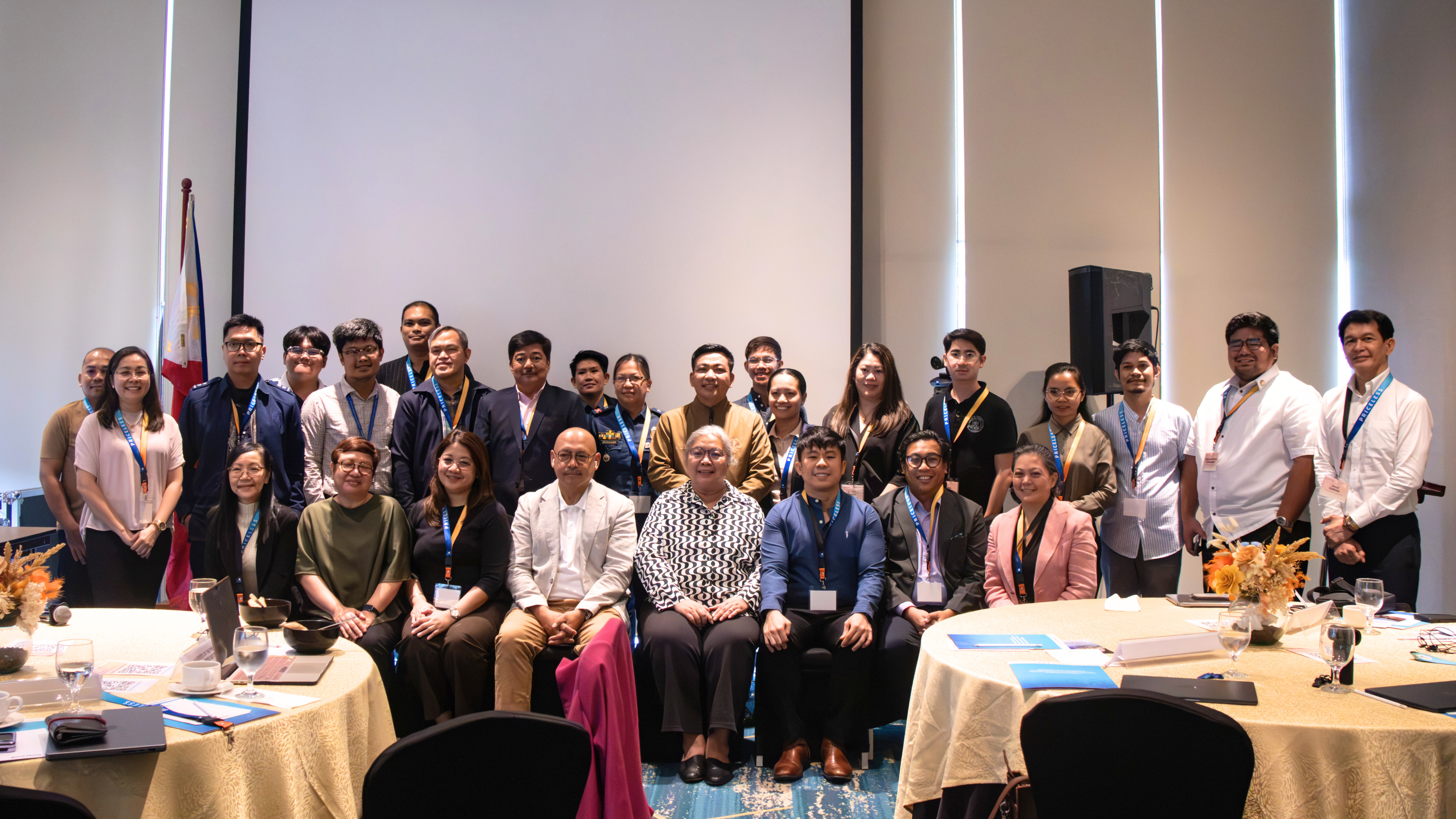
Protection for PRMRR Moves Forward: PRICELESS Inter-Agency Technical Working Group and Project Steering Committee Hold Inaugural Meetings
Tuesday, 30 June 2026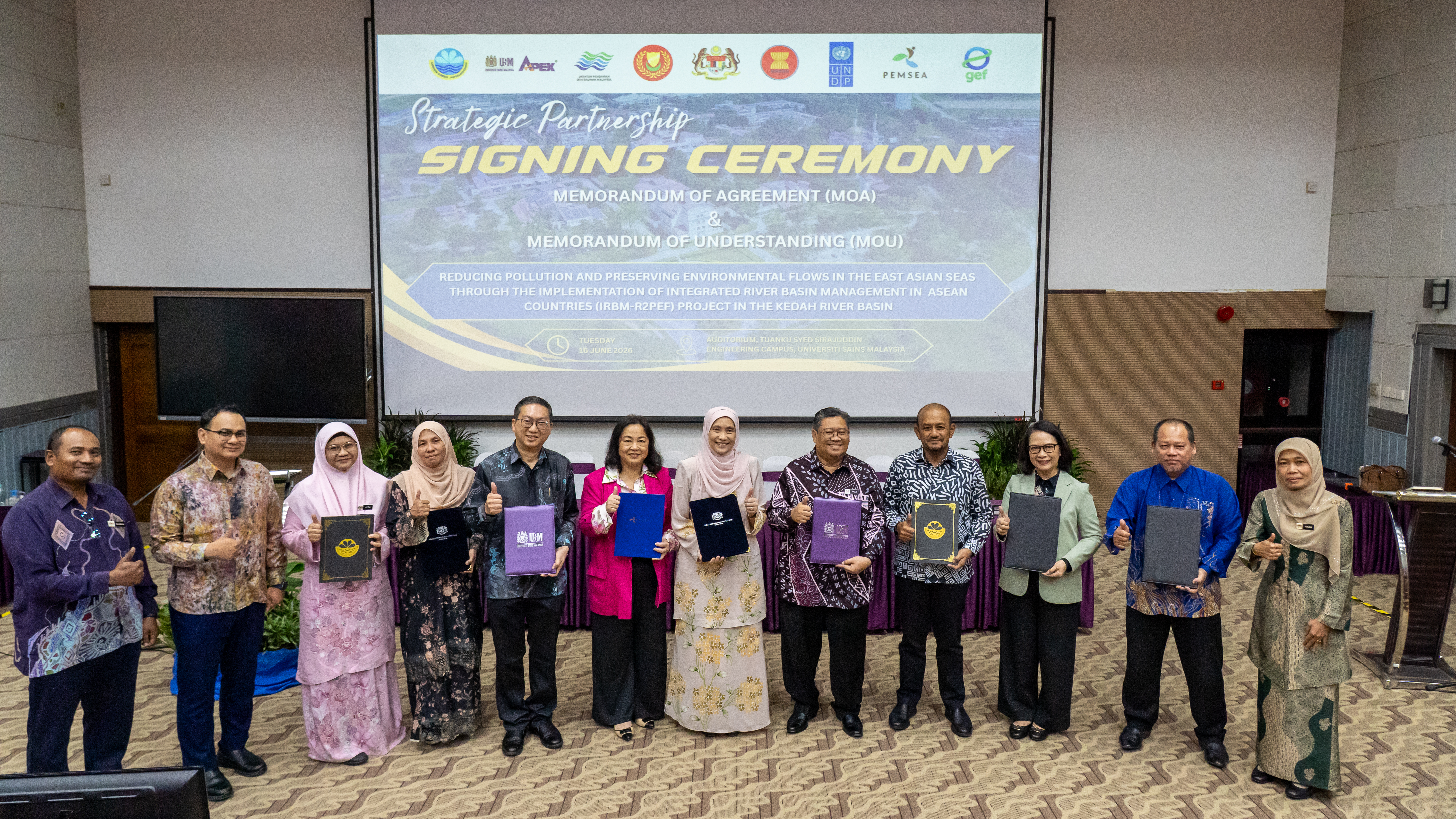
GEF/UNDP/ASEAN IRBM Project Launches Implementation in the Kedah River Basin
Friday, 26 June 2026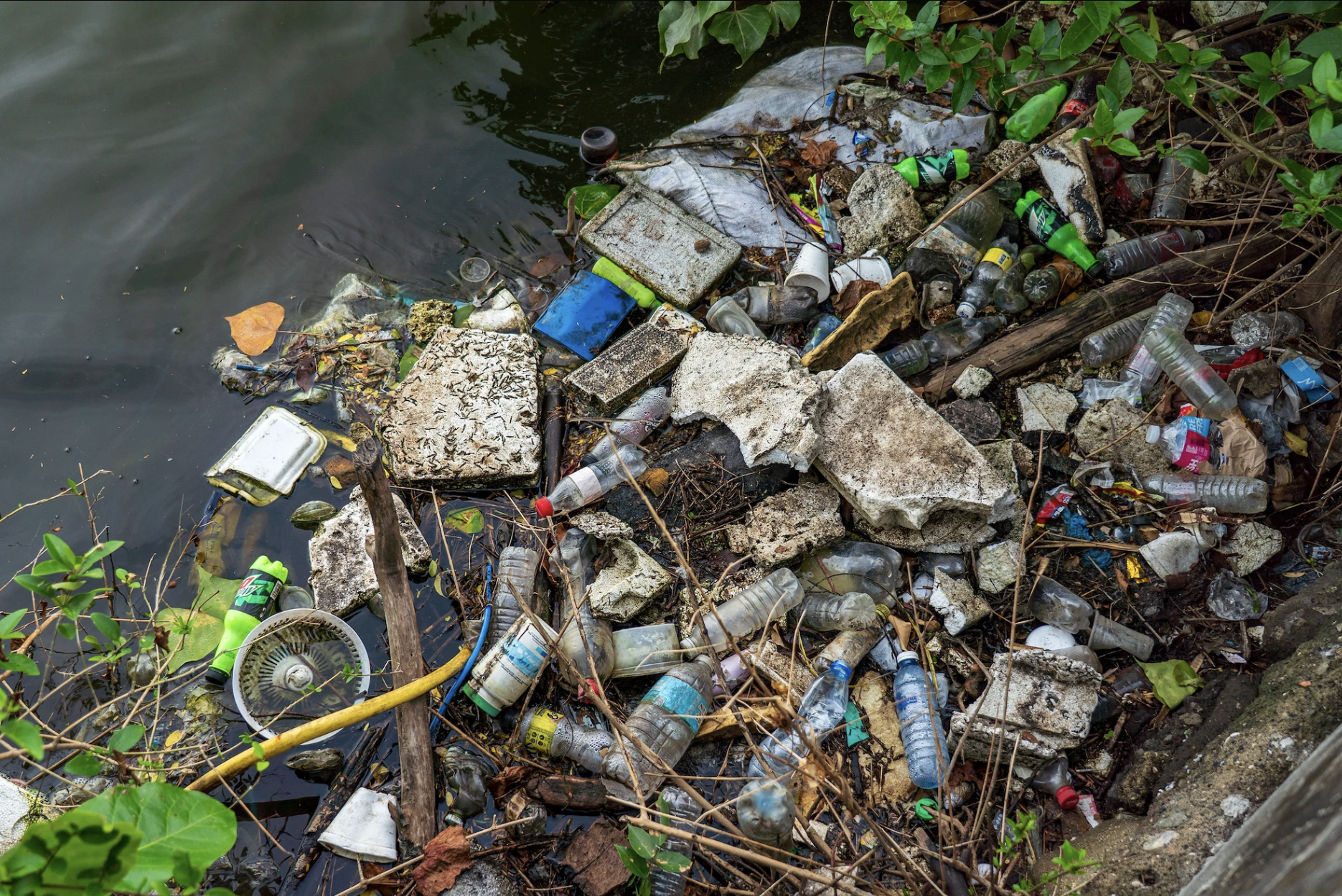
Rising Pressures, Calibrated Responses: The Changing Seas of East Asia
Thursday, 11 June 2026
ASEAN ENMAPS Project successfully conducted Training Workshops on Integrated and Sustainable Governance and Management for Ticao-Burias Pass Protected Seascape (TBPPS)
Thursday, 21 May 2026
35th Executive Committee Meeting Moves Strategic Priorities Forward
Tuesday, 31 March 2026