
Status, Trends, and Transitions in Coastal and Ocean Governance and Ecosystems Amidst the Triple Planetary Crisis and Emerging Polycrisis
This comprehensive research report was developed to inform the updating of the Sustainable Development Strategy for the Seas of East Asia (SDS-SEA) Implementation Plan 2023-2030 by synthesizing recent global, regional, and national developments. It examines the interconnected threats of the triple planetary crisis - climate change, biodiversity loss, and pollution - as well as the broader polycrisis of economic and geopolitical instability affecting coastal and ocean governance, including in the East Asian Seas region. The report also assesses the status and trends of traditional and emerging blue economy sectors and outlines the importance of strengthened data and monitoring systems, research and development, policy alignment, and innovative financing as strategic priorities to support a resilient and sustainable ocean future. Ultimately, the report supports the development and refinement of future strategies, particularly the updating of the SDS-SEA Implementation Plan to 2030. Overall, the report highlights PEMSEA’s critical role as a regional integrator in East Asia, bridging local priorities with global commitments to address rapidly evolving challenges and emerging opportunities in coastal and ocean governance and development.
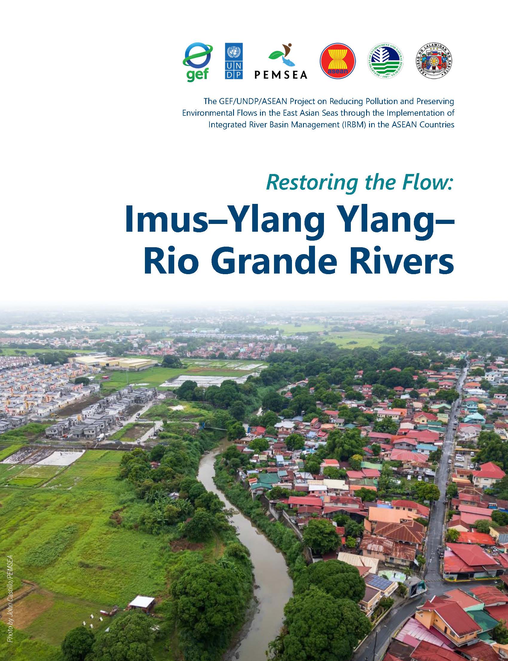
IRBM Stories - Restoring the Flow: Imus-Ylang Ylang-Rio Grande Rivers
In Cavite, Philippines, river rangers, mangrove stewards, fishers, artists, and local government partners are working together to restore the Imus–Ylang Ylang–Rio Grande Rivers and their nearby waterways—removing debris, caring for mangroves, and promoting cleaner, more sustainable livelihoods. With continued partnerships, coordinated planning, and stronger local and national governance, these rivers can once again support farms, fisheries, and local livelihoods. As the province of Cavite continues to grow, the restoration efforts demonstrate how progress and conservation can advance together, helping keep these waterways vital for communities.
Read more about the Imus–Ylang Ylang–Rio Grande River profile, which highlights community realities and the measures the government has initiated to protect and conserve this river basin.
Regional Baseline Assessment on Marine Plastics in the East Asian Seas Region (Philippines and Timor-Leste)
As part of Component 1 of the MOF/PEMSEA ODA project on the Reducing Marine Plastics in East Asian Seas Region, a Plastic Analysis and Characterization Study (PACS) was conducted to provide essential data to guide project decisions and establish 10-year marine plastic management strategies and action plans, which will be developed, adopted, and implemented by local governments and stakeholders. This regional baseline assessment on marine plastics includes the conduct of PACS and Knowledge, Attitude, and Practice (KAP) Survey, specifically focusing on key coastal areas in the six cities and municipalities in the Philippines: Bulan, Calbayog, Daanbantayan, Dipolog, Puerto Princesa, and Tandag; and four municipalities in Timor-Leste: Atauro, Dili, Liquiçá, and Manatuto. These components are designed to understand the specific dynamics of plastic waste generation and local community behaviors towards waste management.
The regional synthesis identified persistent challenges across the plastic waste value chain, including high plastic waste generation, weak segregation, limited collection coverage, low recovery performance, inadequate disposal systems, and continued plastic leakage. Addressing these issues requires targeted interventions across all stages of the solid waste management system. Key recommendations focus on reducing single-use plastics through local policy and behavior change, improving segregation by providing bins and strengthening implementation, and expanding collection through additional vehicles and better route planning. Recovery must be enhanced by upgrading facilities and linking communities to recycling markets, while safe disposal options should be developed or improved to reduce open dumping and burning.
Baseline Assessment Report on Marine Plastics in the Six ODA Project Sites in the Philippines
This Baseline Assessment Report of MOF/PEMSEA ODA project on the Reducing Marine Plastics in East Asian Seas Region includes both the Plastic Analysis and Characterization Study (PACS) and a Knowledge, Attitude, and Practice (KAP) Survey, specifically targeting key coastal areas in six Philippine sites: the municipalities of Bulan and Daanbantayan, and the cities of Calbayog, Dipolog, Puerto Princesa, and Tandag. These assessments aim to uncover the specific dynamics of plastic waste generation and local community behaviors toward waste management, supporting the development of data-driven interventions to address marine plastic pollution effectively.
The findings of the synthesized national baseline assessment provide valuable insights that can assist local government units, national government agencies, and relevant stakeholders in developing targeted policies and interventions. These strategies are aimed at improving solid waste management practices and reducing marine plastic pollution in coastal cities and municipalities.
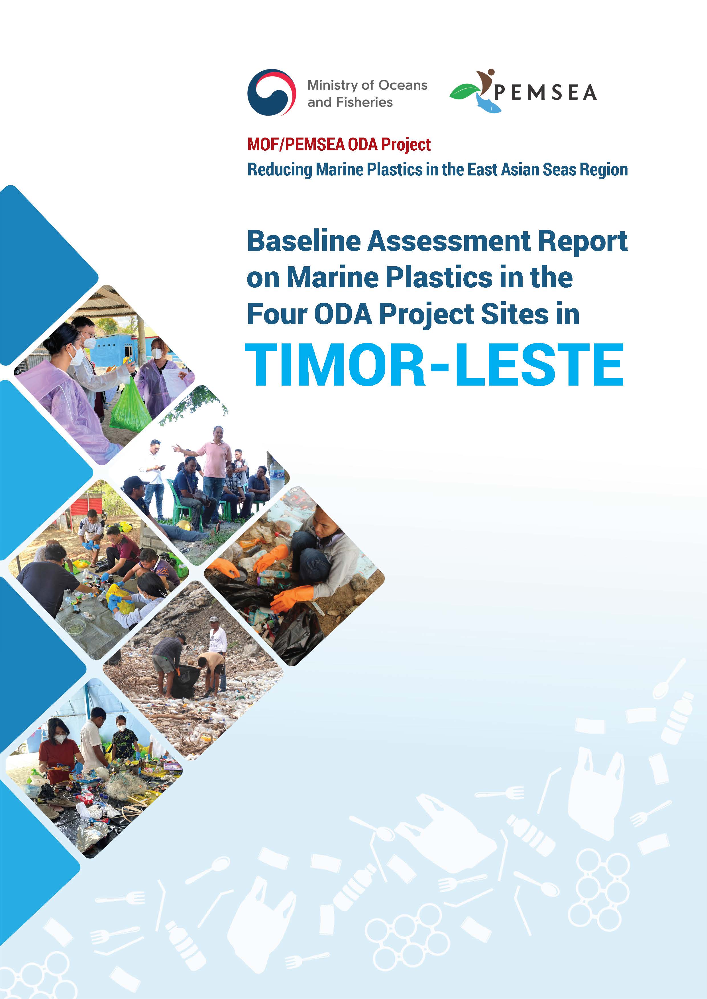
Baseline Assessment Report on Marine Plastics in the Four ODA Project Sites in the Timor-Leste
This Baseline Assessment Report of MOF/PEMSEA ODA project on the Reducing Marine Plastics in East Asian Seas Region includes both the Plastic Analysis and Characterization Study (PACS) and a Knowledge, Attitude, and Practice (KAP) Survey, specifically focusing on key coastal areas in four municipalities in Timor-Leste – Atauro, Dili, Liquiçá, and Manatuto. These components are designed to understand the specific dynamics of plastic waste generation and local community behaviors towards waste management as basis of project decisions and 10-year marine plastic management strategies and action plans, which will be developed, adopted, and implemented by local governments and stakeholders.
The findings of the synthesized national baseline assessment provide valuable insights that can assist local authorities, national government agencies, and relevant stakeholders in developing targeted policies and interventions. These strategies are aimed at improving solid waste management practices and reducing marine plastic pollution in coastal municipalities.
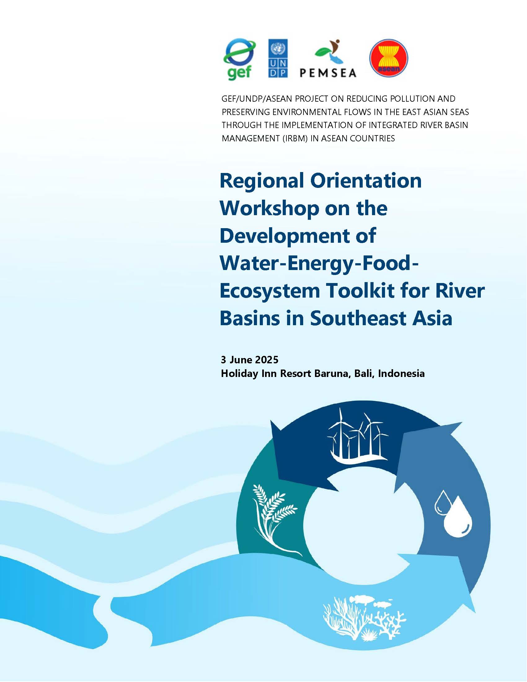
IRBM: Workshop Report on the Regional Orientation on ReWEFE Toolkit
The GEF/UNDP/ASEAN Integrated River Basin Management Project convened a Regional Orientation Workshop on the Development of Water-Energy-Food-Ecosystem (WEFE) Toolkit for River Basins in Southeast Asia on 3 June 2025 in Bali, Indonesia to introduce and demonstrate the applications of the toolkit in selected river basins of the project.
PEMSEA Annual Report 2024: A Year of Collaboration: Driving Blue Synergies Towards Resilient Coasts and Ocean in the East Asian Seas Region
2024 was a landmark year for PEMSEA with the successful organization of the EAS Congress 2024 and the 8th Ministerial Forum as key highlights. These milestone events led to stronger and renewed commitments to drive synergistic actions towards sustainable, inclusive and resilient coasts, ocean and communities, aligned with national priorities and global and regional targets.
Check out progress and plans of PEMSEA's projects that address complex interconnected environmental challenges in the region: marine plastic pollution, biodiversity loss and climate change through rigorous baseline data collation, analysis and reporting; enhancing governance and investment plans and programs; knowledge management and technical skills and capacity development.
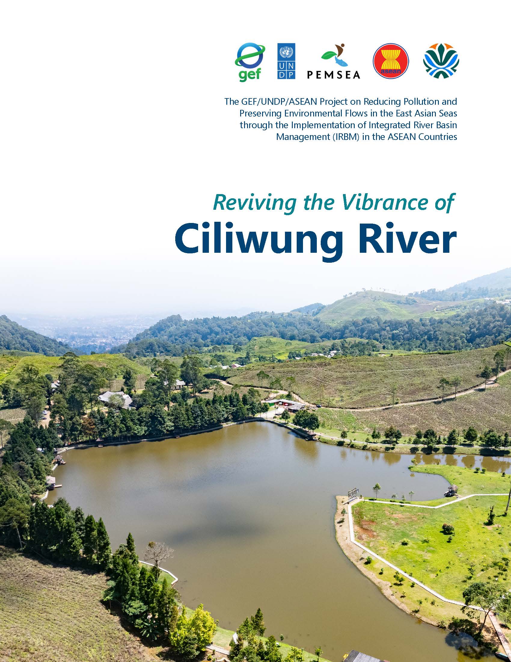
IRBM Stories - Reviving the Vibrance of Ciliwung River
The Ciliwung River Basin, located in Indonesia, originates in the Bogor Regency and flows 118.25 kilometers to the Java Sea, passing through the cities of Bogor, Depok, and Jakarta. Covering 421.47 square kilometers, it supports over 3,852,000 people and provides essential resources for agriculture, livelihoods, and transportation. The Ciliwung Dam, constructed in 1911, irrigates 333 hectares of rice fields and contributes to the region's renowned tea plantations. The river basin faces significant pollution challenges from domestic and industrial waste. The Integrated River Basin Management (IRBM) Project aims to mitigate these issues through improved governance, community engagement, and sustainable waste management practices.
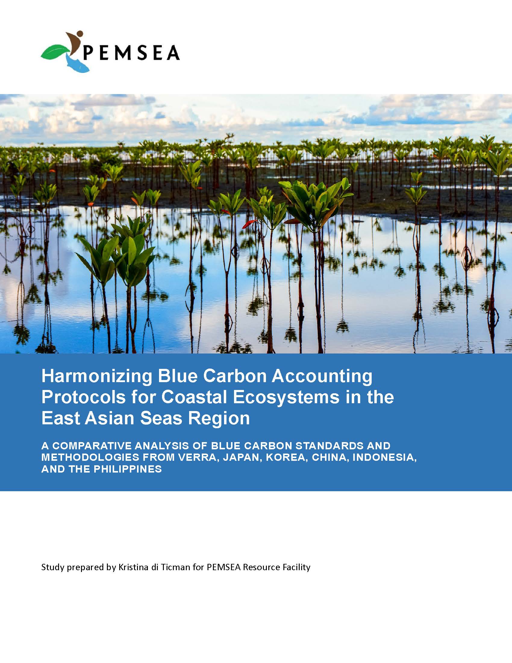
Harmonizing Blue Carbon Accounting Protocols for Coastal Ecosystems in the East Asian Seas Region
The conservation and management of coastal and marine ecosystems, known as blue carbon ecosystems, have gained prominence for their critical role in climate change mitigation and biodiversity conservation. These ecosystems, including mangrove forests, seagrass meadows, and tidal marshes, are valued for their ability to capture and store carbon, reducing greenhouse gases in the atmosphere. Recognizing their importance, the 15th EAS Partnership Council approved the development of a PEMSEA Blue Carbon Program, managed by the PEMSEA Resource Facility (PRF) with guidance from Dr. Keita Furukawa and the PEMSEA Network of Learning Centers. PRF has outlined a roadmap focusing on supply, market, accounting, and certification of blue carbon.
This study by Kristina di Ticman centers on harmonizing blue carbon accounting protocols in the East Asian Seas region, a proposal agreed upon at the 2nd General Assembly of the PEMSEA Network of Learning Centers reviews accounting protocols from China, Indonesia, Japan, the Philippines, and RO Korea, alongside voluntary standards from VERRA, identifying similarities, gaps, and recommendations for harmonization.