
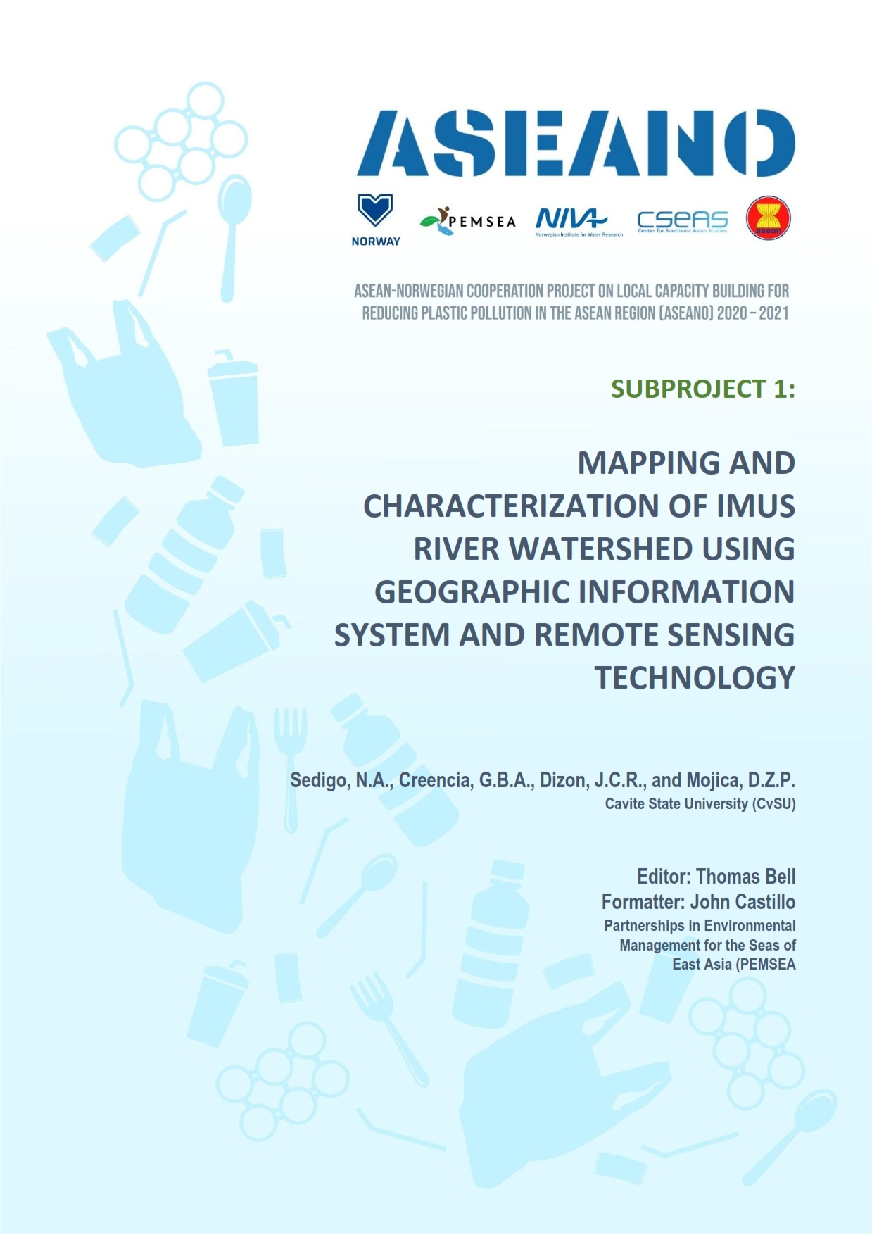
ASEANO Project Report: Mapping and Characterization of the Imus River Watershed
PUBLICATION DATE:
Tuesday, April 19, 2022
PUBLICATION TYPE:
Reports
STATUS:
Out of Print
DESCRIPTION:
River systems have been identified as major pathways and transporters of wastes, including plastics, that ultimately end up in the oceans. The Imus River Watershed (IRW) is located in the Philippine Province of Cavite, one of the provinces in the CALABARZON Region of southern Luzon. This study delineated and mapped the physical boundaries of the Imus River watershed and determined the topographic features, stream characteristics, geomorphology, political subdivisions, barangay communities, population distribution, land use and land cover, and hydro-climatic characteristics of the watershed. Both primary and secondary data sources were used in making comprehensive land use maps, population maps, and hydroclimatic data analyses.
The boundary of the Imus River Watershed was initially established through an unsupervised delineation process using a digital elevation model of Cavite with a 5-meter resolution in ArcGIS. Sangley Point Synoptic Station in Cavite City and the CvSU-PAGASA Agrometeorological Station in Indang were used to define the general hydroclimatic condition of IRW due to their close proximity to the watershed. The total drainage area of IRW is 11,259.80 hectares, covering portions of Tagaytay City, Amadeo, Silang, Dasmariñas, Imus City, Bacoor City and Kawit. Elevation within the watershed ranges from 0 to 655 meters above sea level. The lowland area covers parts of Kawit, Imus City, and Bacoor City; a central hilly area covers parts of Imus City, Bacoor City, and the majority of communities in Dasmariñas and Silang. The upland area covers parts of Silang, Amadeo, and Tagaytay City. There were 56 perennial streams identified with a total length of 186.15 km and 36 river segments. The Imus river system is a combination of headwaters and medium-sized streams. The sub-watersheds, labeled A, B, and C, have drainage densities of 1.15 km/km2, 1.95 km/km2, and 1.41 km/km2, respectively. The sub-watersheds A and C have stream frequencies of 0.20/km2 and 0.25/km2 while sub-watershed B has a stream frequency of 0.39/km2. In alphabetical order, these sub-watersheds have bifurcation ratios of 5, 3.31, and 2.5, elongation ratios of 0.33, 0.26, and 0.43, and circulatory ratios of 0.18, 0.11, and 0.26.
A total of 222 barangay communities are located within the boundaries of the watershed with a total population of 1,351,057 in 2015. 90.67% of the province is classified as alienable and disposable land, while the remaining forest land represents only 9.33%. Alienable and disposable lands are further classified as production land (55.24%) and built-up areas (44.76%). The Sangley Point Synoptic Station has a normal mean temperature of 28.53°C while the CvSU-PAGASA Agromet Station has a normal mean temperature of 26.20°C. The average total annual rainfall recorded at Sangley Point Synoptic station and CvSU Agromet Station were 2,265.69 mm and 2,483.05 mm, respectively. The average flow during wet season was 1,601.84 liters per second, while the average flow during dry season was 1,337.42 liters per second.
RELATED PUBLICATIONS
-
2023 Audited Financial Statement
-
Proceedings of the Thirty Second Meeting of the Executive Committee
The 32nd PEMSEA Executive Committee (EC) Meeting was conducted virtually on 19 March 2024 via Zoom. Participants of the meeting included the EC members , particularly the Chair and Co-Chair, Intergovernmental Session Chair and Co-Chair, the Technical Session Chair of the EAS Partnership Council (PC), and the Executive Director of the PEMSEA Resource Facility (PRF). Observers from the China PEMSEA Center, Ministry of Environment (MoE) of Cambodia, and Department of Environment and Natural Resources (DENR) of the Philippines also attended the meeting. PRF served as the Secretariat of the meeting.
DOCUMENT NUMBER DOCUMENT TITLE EC/32/DOC/01a List of meeting documents EC/32/DOC/01b Provisional agenda EC/32/DOC/02 Updates on the EAS Asian Seas Congress 2024 EC/32/DOC/02a Provisional Structure of the EAS Asian Seas Congress 2024 EC/32/DOC/03 Development of the 8th Ministerial Declaration EC/32/DOC/03a Concept Note and Draft Zero of the 8th MF EC/32/DOC/04 Global Trends and Opportunities Impacting the EAS Region EC/32/DOC/05 Updates on the 16th EAS PC Meeting -
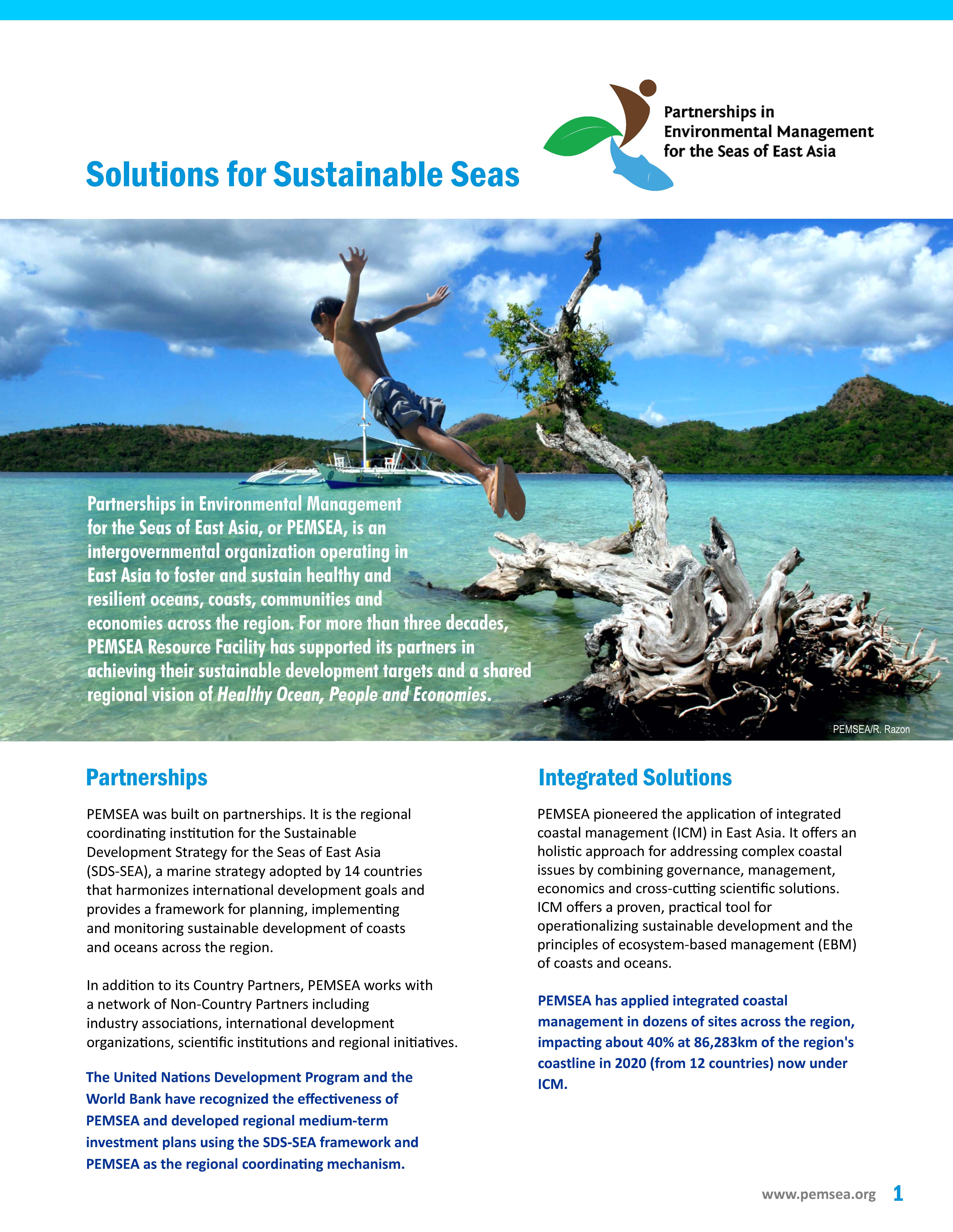
PEMSEA Brochure 2024
This PEMSEA e-brochure provides a quick introduction to the partnerships, its role, its networks and the services it offers. For more detailed information, please go to the homepage and browse the various sections of the website.
-
Proceedings of the 2023 PEMSEA Network of Local Governments Forum (PNLG) "Developing Coastal Cities, Fostering Blue Partnership"
The 2023 Forum of the PNLG with the theme, “Developing Coastal Cities, Fostering Blue Partnership” was hosted by the PNLG and PEMSEA and co-organized by the PNLG Secretariat, PEMSEA Resource Facility (PRF) and Coastal and Ocean Management Institute (COMI) of Xiamen University (XMU). The forum was conducted on 8-11 November 2023 in Xiamen, China. The PNLG Forum was one of the key events of the Xiamen World Ocean Week.
The Forum was participated by over 130 participants from:
- 23 members from seven countries, namely: Cambodia, China, Indonesia, Malaysia, Philippines, RO Korea, and Timor Leste,
- 4 PNLG Associate members, namely the First Institute of Oceanography, Ministry of Natural Resources, China; Coastal and Ocean Management Institute (COMI) and Fujian Institute for Sustainable Oceans (FISO) of Xiamen University (XMU), China, and National Ocean Technology Center (NOTC) of the Ministry of Natural Resources, China;
- resource speakers and other invited experts,
- the PNLG Secretariat, and
- the PRF.
-
Proceedings of PEMSEA Network of Learning Centers (PNLC) back - to - back Events
The document contains the proceedings of three back-to-back activities that were conducted in Seoul, Republic of Korea from 31 October to 3 November 2023.
The activities include:
- The 6th Geo Blue Planet Symposium on Digital Solution for Sustainable Ocean Community on October 31
- PEMSEA Learning Exchange on Good Practices in Implementing Biodiversity Conservation-Focused Ecosystem and Area-based Management Approaches on November 1
- The 3rd PEMSEA Network of Learning Centers (PNLC) General Assembly Meeting on November 2
The activities were organized by the PEMSEA Resource Facility (PRF) with support from RoKorea Ministry of Ocean and Fisheries, the Korea Maritime Institute (KMI), and the Korea Management Corporation (KOEM), and the Korea Blue Carbon Research Center.
Participants include 39 representatives from 17 of the 21 PNLC members, officers, and staff from KMI, KOEM, the Korea Blue Carbon Research Center, and the PEMSEA Resource Facility (PRF).